Victorian porches, ranch houses and garden apartments: what Riverdale Park is built from
The Victorian and Craftsman core
The town's preservation page counts more than 400 Victorian and Craftsman homes dating from 1890 onward. The Riverdale Park Historic District, listed on the National Register in 2002, covers buildings from 1889 to 1940 roughly between Tuckerman Street, Taylor Road and Oglethorpe Street, with Baltimore Avenue (US 1) on its west side.
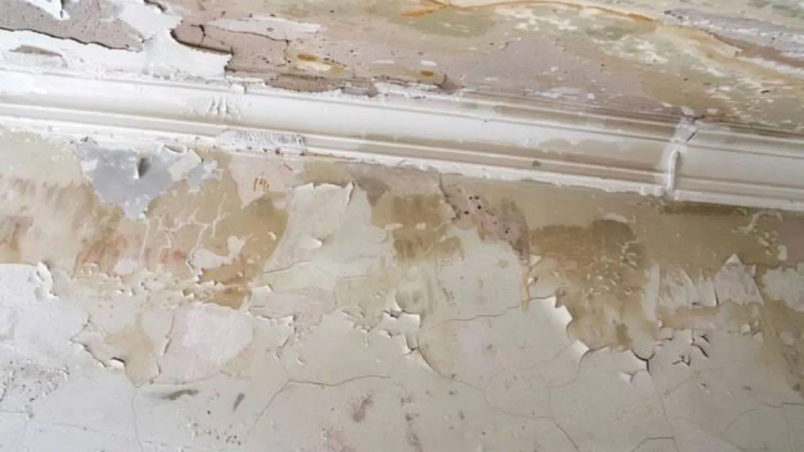
Houses of that age often keep original plaster, wood floors and old pipe, so a leak can hide behind a wall for a while before a stain shows.
Streetcar growth, then ranch houses
A streetcar reached the area in 1899, and the county planning overview says ranch, bungalow, Cape Cod and cottage houses later replaced much of the older Victorian development. Some of those newer houses were built in the old floodplain of the channeled Northeast Branch, east of the town center.
Garden apartments by the creek
The same overview describes garden, mid-rise and high-rise apartments between the Northeast Branch and Kenilworth Avenue. Census figures put owner occupancy at 50.9 percent and the average household at 3.03 people, so about half of homes are rented and many are full. More people means more washers, taps and supply hoses in use.
A straightened creek, a 1951 flash flood and a stream gage
The town's own history page records a five-day rain of 4.88 inches in 1945 and a flash flood on 3 August 1951 that left eight inches of water on Riverdale Road. It adds that the Army Corps began straightening the Northeast Branch of the Anacostia in December 1954. A watershed report by the Corps dates flood-control changes to the 1970s, so the sources disagree on the year, but both describe a straightened and partly leveed channel.
A USGS gage called Northeast Branch Anacostia River at Riverdale sits on the left bank 100 feet downstream of the Riverdale Road bridge. It measures a drainage area of 72.8 square miles, a lot of watershed passing a short stretch of town. The county's flood study also lists a Northeast Branch priority area at East West Highway, the town's northern edge, protecting 191 structures, though it does not show that area lies inside town limits.
Hyattsville's own stormwater study adds that a Hyattsville-Riverdale levee system protects some areas from the 100-year flood. Ask which side of that protection your address is on, and look the address up at msc.fema.gov.
When a pipe lets go or the creek comes up in Riverdale Park
In an older house, trouble often shows as a brown ceiling stain, a soft floor or a sound behind plaster. Creek or storm-drain water shows as a wet basement or ground floor with silt and debris.
Stop what you can, then call (301) 936-0619, which is staffed at every hour. Same-day response depends on crew availability, and the dispatcher explains scope and price before any work starts.
The next ten minutes, while water is still spreading
Look for the valve
Older houses may have the main shutoff in a basement or crawl space near the street side. Turn it clockwise until the flow stops, then open one low tap to drain the line.
Think about the breaker box
If water is near outlets or the box, leave the power alone. Your electric utility or 911 is the call to make. Switch off wet-room breakers only from dry footing.
Move the irreplaceable first
Photo albums, paper files, laptops and rugs go up first. Leave heavy furniture where it stands unless the water is rising.
Keep the household dry
Do not wade through water from a storm drain or a toilet. Keep children and pets in dry rooms, then call (301) 936-0619.
Wet plaster or standing water in Riverdale Park?
Call (301) 936-0619 any time of day. You hear the plan and the price before anything starts.
Reaching Riverdale Park: ZIP 20737 and the roads we use
Dispatch for Riverdale Park runs around the clock from Hyattsville, roughly 1.2 miles off in a straight line. Mail for the town uses ZIP 20737, the code on the town office at 5008 Queensbury Road and on the MARC station at 6200 Rhode Island Avenue. The postal service lists the ZIP's preferred name as Riverdale, with Riverdale Park as an accepted alias.
That ZIP is far bigger than the town. Its 2020 population was 24,555 against 7,351 for the town itself, so it spills into surrounding unincorporated areas, and we cover all of it. Riversdale at 4811 Riverdale Road, planned in 1801, and Riverdale Park Station, a mixed-use development that opened in 2017, give a dispatcher an easy landmark.
Our nearest neighbors are College Park, a little over two miles to the north, and Bladensburg, about 1.7 miles to the south.
Four services, ranked for an older house near a straightened creek
Hidden leaks and wet plaster call for water mitigation first. Moisture meters trace the wet area, a thermal imaging camera confirms it, and air movers and LGR dehumidifiers dry it in place when plaster or old wood floors can be saved.
After drying, water damage repair rebuilds ceilings, trim and floors. In a historic-district house, ask the town before you replace original materials.
When water is standing, emergency water removal comes ahead of everything else. Extraction units clear a basement or ground-floor unit before drying starts.
If damp material sits for days, mold remediation may be needed. Mold needs moisture, so the water source is fixed first, and cleanup and testing follow ANSI/IICRC S520. Maryland does not currently run a mold remediation license under its 2008 law, so ask any company what training and standards its crews follow.
What the town is doing and who issues permits
Local resources worth knowing
The town's Flood Resources page gathers a flood safety checklist, mold cleanup guides and a link to the FEMA flood study and map for Prince George's County. A general note there says developments built 40 or more years ago often have little stormwater management and a lot of paved surface.
In April 2026 the town announced six rain gardens on 48th Avenue, Somerset Road and Taylor Road, plus a bioretention facility on Beale Circle West, aimed at reducing localized flooding.
Permits are split. County records show Prince George's DPIE handling most building permits and WSSC plumbing, while the town issues certain local permits and housing licenses. Ask the town or DPIE before you rebuild.
Frequently asked questions
Yes. ZIP 20737 is the one that matters. It sits on the town office at 5008 Queensbury Road, the MARC station on Rhode Island Avenue and Riversdale on Riverdale Road. ZIP 20738 is a PO box code with no buildings.
If your mail shows a different ZIP, name your street and the dispatcher will check coverage.
Yes. Calls are answered at any hour, nights and weekends included, and a same-day visit is offered when a crew is free. The dispatcher will ask what the water touched, where it began and whether anyone is near the electrical panel.
Often, if drying starts quickly and the water was clean. Moisture mapping decides it. Sewage or floodwater contaminates porous material, and that usually has to come out. Ask for the scope and price to be explained before work starts.
The county planning overview says houses were built in the old floodplain of the channeled Northeast Branch east of the town center. Straightening a creek does not remove flood risk, so look up your address on the FEMA map and ask your insurer about flood coverage.
The town says the projects are aimed at reducing localized flooding, not ending it. Keep gutters and drains clear and do not rely on the gardens alone when a heavy storm is forecast.